Inspections
Mapping
Modeling
Unlock the power of cutting-edge drone technology with our Inspection, Mapping, and 3D Modeling Services, offering unparalleled precision and efficiency for industries like construction, infrastructure, and government projects. Whether it's minimizing risk with detailed inspections, mapping expansive landscapes with accuracy, or creating realistic 3D models for enhanced project visualization, we provide government-compliant solutions that ensure data integrity and actionable insights for informed decision-making.
Inspections
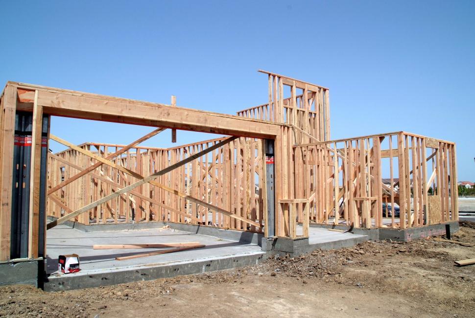
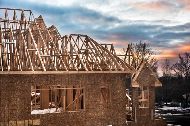
Utilize our state-of-the-art drone technology for thorough and precise inspections across a range of industries including utilities, infrastructure, and construction. Our services reduce the need for manual inspections, minimizing risk and providing detailed, actionable insights with less downtime.
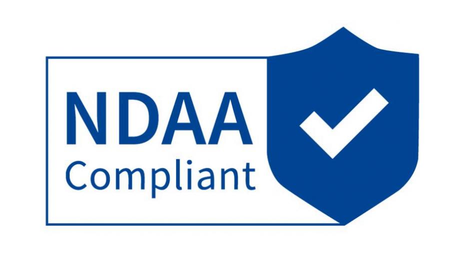
Ideal for government-related infrastructure projects, our NDAA compliance ensures that we meet stringent requirements for national security and data integrity.
Secure Data
Trusted Manufacturers
No Banned Components
Certified Security
Regular Audits
Mapping
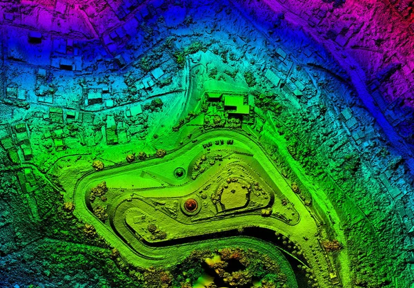
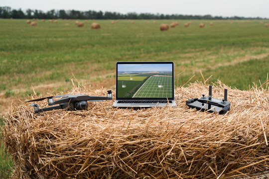
Leverage our advanced aerial mapping capabilities to gain detailed geographical data for planning, development, and environmental monitoring. Our precise mapping helps in decision-making processes, offering clarity and accuracy that traditional methods cannot match.
We are fully compliant with government contracting requirements; providing mapping services that are crucial for:
- Urban Planning
- Environmental Conservation
- Disaster Management


Modeling


Create detailed and accurate 3D models of landscapes, urban environments, and complex infrastructures. These models are essential for project visualization, simulation, and analysis, helping stakeholders understand and engage with the data more effectively.
Our 3D modeling services are perfectly suited for government projects in urban development, historical preservation, and any other field requiring detailed visual representation of physical spaces.