Precision Mapping, Powerful Results
Drone mapping and inspection services provide comprehensive aerial views essential for site planning, monitoring construction progress, and ensuring compliance with safety standards
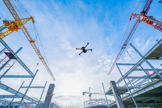
These drones capture high-resolution images and data for creating topographical maps, assessing structural integrity, and identifying potential issues before they become costly problems. Additionally, Ferox Aero's drones can be used for tracking construction equipment and materials on large sites, improving logistics and security.
Ferox
Promise
Drones are transforming construction with fast, accurate aerial
data that
speeds
up
projects, enhances safety, and cuts costs.
Safer, Smarter, Efficient Construction
Reduce the risk of accidents
Minimize exposure to hazardous environments
Enhance site monitoring
Improve emergency response time